01 Off-trail warning
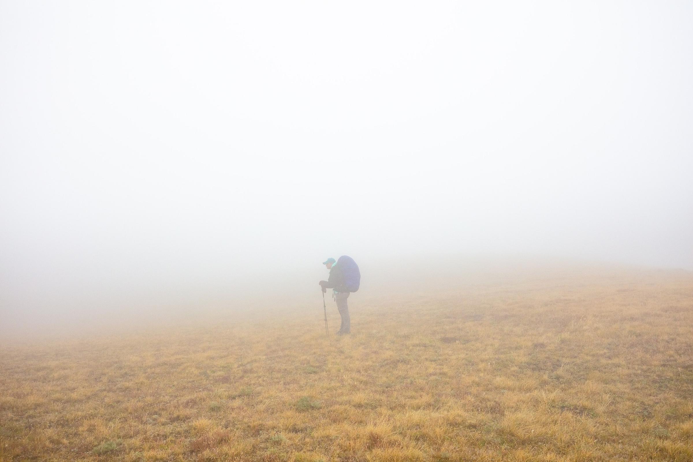
Wander off. Feel the buzz. Walk back.
BackpackMap keeps checking where you are against your route. Drift off it and your iPhone buzzes, a banner tells you how far off you are, and a blue line points the way back. Step back on and the warning clears.
02 iPhone Messages, over satellite
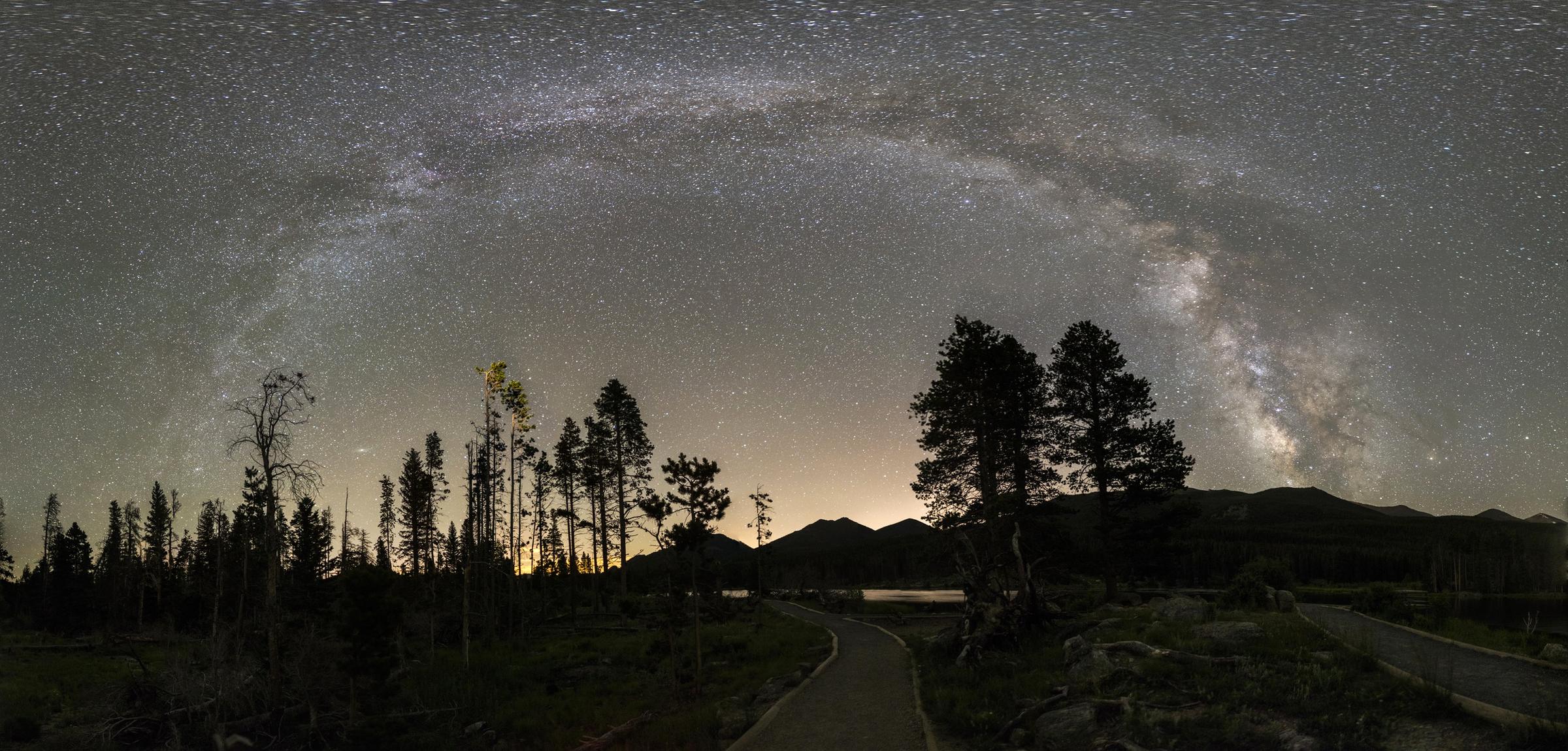
Your iPhone is the satellite communicator.
No signal out here, and no gadget either. BackpackMap uses Messages, which your iPhone can already send over satellite. One text goes out; the reply brings the weather, active fires and flash-flood risk for your spot, and your Camping pin lands on the trip map at home.
No satellite communicator to buy. No monthly plan for one.
- Sent from Messages, over satellite
#BM1 38 39.4751,-105.4920 PCN1 - Reply in Messages72° H 80° L 55° · 8 mph SW · rain 20%Fire 12.5 mi NNE (active) · Flash flood: LOW
- At homeCamping pin added to the trip map
Messages over satellite needs an iPhone 14 or later on iOS 18 or later, where Apple offers it.
03 Tap-to-Measure
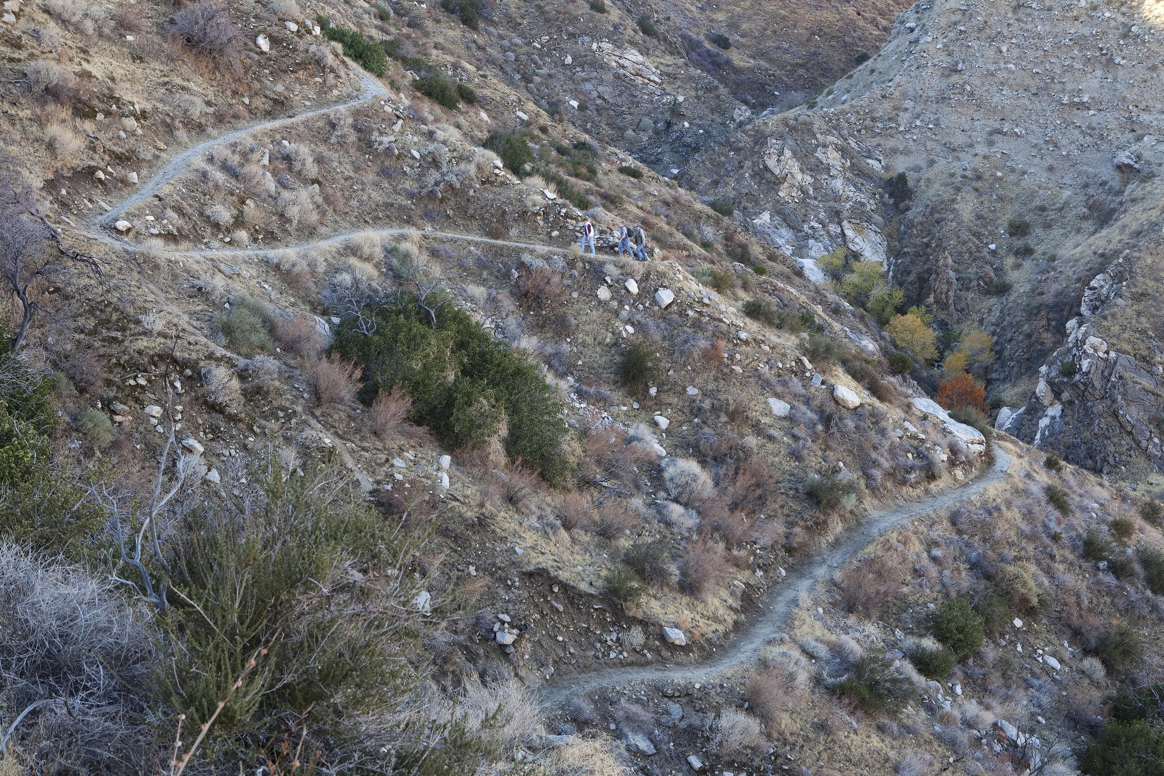
Tap the trail. Know the miles.
Tap anywhere near the trail. The dot snaps to it, and BackpackMap measures the way you will actually walk, around every bend. You get the miles, the time at your pace, and the elevation when you get there.
- Straight line
- 0.4 mi
- Along the trail
- 1.2 mi
- At your pace
- ~1 h 5 min
Legend
Also in BackpackMap
-
Offline topo maps
Downloaded for your whole route before you leave the trailhead.
-
Elevation profile
Every climb and descent on the route, before you are on it.
-
Springs and campsites
From OpenStreetMap, with guideposts and viewpoints near the trail.
-
GPX import
Open a track from any route planner.
-
Hike recording
Record your own track as you walk, with the screen locked.
-
Draw a route
Sketch a route with your finger; it snaps to the real trails.

TestFlight beta
Be one of the first testers.
Sign up below and Apple emails you a TestFlight invite for BackpackMap. It is free.
What you need
- An iPhone on iOS 17 or later.
- The TestFlight app from the App Store.
- For Messages over satellite: an iPhone 14 or later on iOS 18 or later.
Ridgelines at dusk · Photo: CC0